Revised December 2019 to reflect recent trail changes.
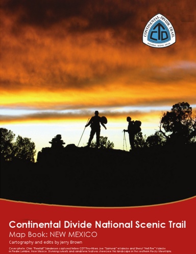
This is a 119 page map atlas for the "official" route of the Continental Divide Scenic Trail in New Mexico. The data was gathered by walking the trail with extremely accurate professional grade gps receivers. The maps were made by hill shading and combining USGS quadrangles to produce stunning full color maps. GPS waypoints that match the maps exactly are available online at no cost. Mapbooks for all states along the trail are available. The books are republished frequently to remain current and up to date. Digital versions are also available which are suited for download onto tablets and smart phones on the author's website. www.bearcreeksurvey.com
Details
- Publication Date
- Oct 16, 2014
- Language
- English
- Category
- Sports
- Copyright
- All Rights Reserved - Standard Copyright License
- Contributors
- By (author): Jerry Brown
Specifications
- Pages
- 122
- Binding
- Coil Bound
- Interior Color
- Color
- Dimensions
- US Letter (8.5 x 11 in / 216 x 279 mm)