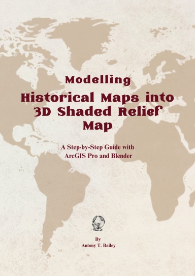
Modelling Historical Maps into 3D Shaded Relief Maps
A Step-by-Step Guide with ArcGIS Pro and Blender
Normalerweise in 3-5 Werktagen gedruckt
Turn Historical Maps into Stunning 3D Landscapes with ArcGIS Pro & Blender
Historical maps hold incredible stories of the past, but what if you could bring them to life in 3D? This book provides a step-by-step guide on transforming old maps into visually stunning, shaded relief models using ArcGIS Pro and BlenderGIS.
Designed for GIS professionals, historians, cartographers, and digital artists, this book takes you through the complete workflow, including:
✅ Georeferencing and processing historical maps for 3D modeling
✅ Preparing Digital Elevation Models (DEM) and filling missing elevation data
✅ Importing DEMs into Blender using BlenderGIS for 3D extrusion
✅ Applying shading, lighting, and textures for realistic terrain rendering
✅ Optimizing and exporting your final 3D map for presentations and projects
With detailed explanations, hands-on workflows, and expert tips, this guide will help you master 3D historical cartography, whether you're visualizing ancient landscapes or enhancing modern storytelling.
📖 Unlock the power of historical maps and start creating breathtaking 3D visualizations today!
Details
- Veröffentlicht am
- May 18, 2025
- Sprache
- English
- ISBN
- 9781716660108
- Kategorie
- Computer & Internet
- Copyright
- Alle Rechte vorbehalten - Standard-Urheberrechtslizenz
- Autoren/Mitwirkende
- Von (Autor): Antony Bailey
Spezifikationen
- Seiten
- 47
- Bindung
- Paperback Paperback
- Farbe für den Innenteil des Buches
- Farbe
- Abmessungen
- A4 (8,27 x 11,69 Zoll / 210 x 297 mm)