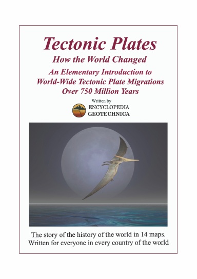
Tectonic Plates
How the World Changed
Usually printed in 3 - 5 business days
This is the exciting story of our planet and our islands, illustrated in a series of systematic maps for easy reference.
The book is built around a set of 14 maps showing the tectonic crustal plate movements over the last 750 million years. How did the continents develop and coalesce to form the shapes that we recognise today? Where were the British Isles and Ireland at any time in the last 750 million years? This book will tell you that! It will show you by means of clear global maps, with brief accompanying explanations.
The contents include tables, diagrams, and comments covering changes in climate, sea level, atmospheric composition, and ice ages. It describes the main fossil types, major extinction events, mountain building and so on - always keeping it simple and easy for the reader to understand.
This book is unique in its achievement of synthesising all the major geological periods into a set of individual tectonic plate maps of each major geological period. It is equally unique in its systematic and consistent approach to the representation of the information it contains. The maps are all shown on a standard projection so that the whole story can be easily followed as continents move across the face of the Earth over immense time periods. The book has been reviewed by amateurs and professionals, and all are enthusiastically supportive.
Details
- Publication Date
- Jan 20, 2026
- Language
- English
- ISBN
- 9781910537978
- Category
- Education & Language
- Copyright
- All Rights Reserved - Standard Copyright License
- Contributors
- By (author): Encyclopedia Geotechnica
Specifications
- Pages
- 58
- Binding Type
- Paperback Perfect Bound
- Interior Color
- Black & White
- Dimensions
- A5 (5.83 x 8.27 in / 148 x 210 mm)