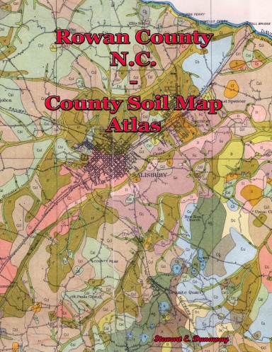
Rowan County, NC - County Soil Map Atlas
Usually printed in 3 - 5 business days
County Soil maps were published in the 1900s for almost every county in NC. It was a joint effort with the US Govt. & NC Dept. of Ag. Some counties were only partially covered, others nothing at all. For those counties in which they did publish a map, the historical information can be insightful. Some of these county maps provide a look back in time to about the Civil War era. Others, nothing more than a review from the turn of the 20th century. Included on these maps (ignoring soil info) you can find churches, names of rivers, streams, swamps, bridges (typically named), mines, quarries, landings, ferry locations (names), and mill sites. I have used these maps many times to assist in locating a historical site or old road routes. Some churches are annotated but remain unnamed (perhaps nothing but a cemetery site). This can assist church research or locating unnamed graveyards. The maps are large, thus they are cropped into smaller pieces - IN COLOR per page.
Details
- Publication Date
- Mar 7, 2020
- Language
- English
- Category
- History
- Copyright
- All Rights Reserved - Standard Copyright License
- Contributors
- By (author): Stewart Dunaway
Specifications
- Pages
- 34
- Binding Type
- Paperback Saddle Stitch
- Interior Color
- Color
- Dimensions
- US Letter (8.5 x 11 in / 216 x 279 mm)